



RASTERNODE / SERVICE LAYER
Sentinel Data API
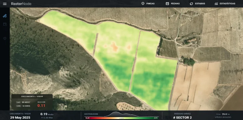
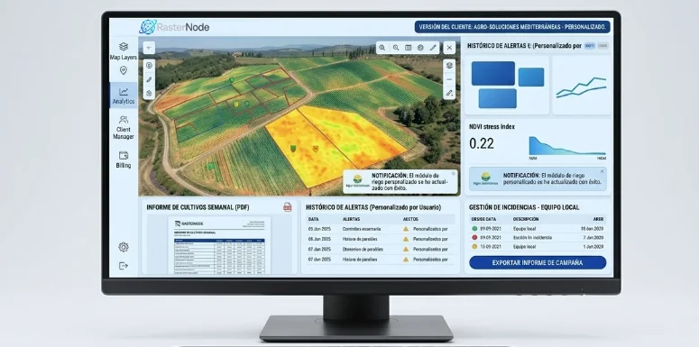
We turn satellite data into vegetation indices tailored to each crop type, along with advanced per-field metrics. We automate geospatial processing to deliver accurate, optimized information that is ready to integrate into any agricultural application.
- 01Instant access to vegetation indices, ready to integrate via API.
- 02Fully automated satellite data acquisition and processing pipeline.
- 03Advanced cloud and shadow masking to maximize satellite image quality.